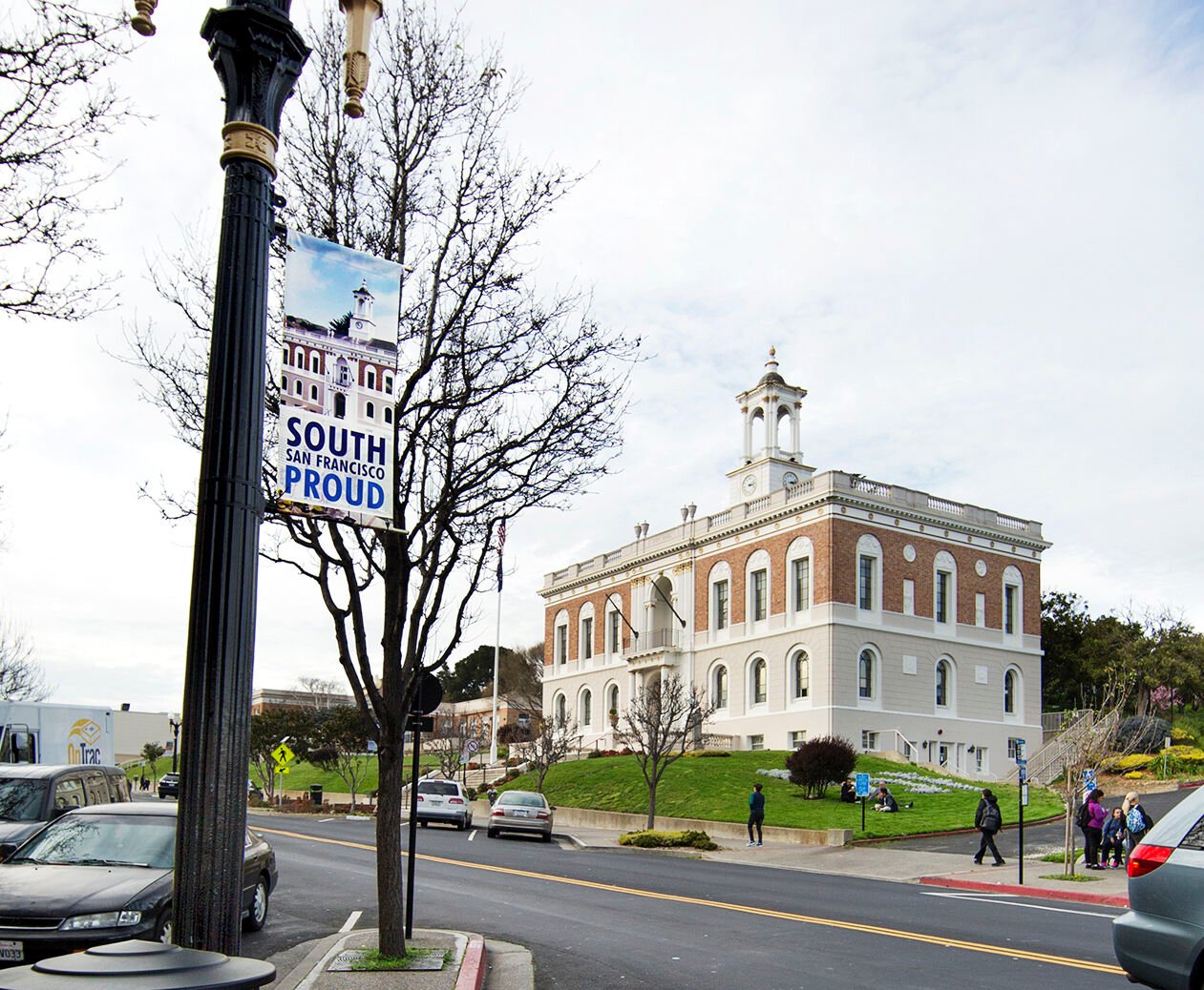
South San Francisco councilmembers last week reviewed district map proposals and provided input as to what the city’s new district maps should look like, favoring an arrangement with minimal changes from the city’s current map.
The City Council finds itself in a complex situation due to its partially completed transition to district representation started four years ago. The council is required by state law to reexamine its maps given the release of new census data, despite the maps having been drawn relatively recently. Maps would ordinarily be redrawn every 10 years.
“The natural course of action would be to readopt the current map as is, or make only minimal changes to it,” Kristen Parks said, a redistricting specialist, who said the city’s current map still meets state law that requires population between districts not deviate by more than 10%.
Prior to 2018, the city elected its five members of the City Council at large, meaning each resident got five votes, one for each member. Under district-based elections, residents get just a single vote with which to elect one member of the council to represent the district in which they live. The title of mayor and vice mayor rotates annually among councilmembers.
Councilmember James Coleman and Mayor Mark Nagales, representing present-day districts 4 and 2 respectively, were elected using the current map in 2020. Vice Mayor Buenaflor Nicolas and Councilmember Mark Addiego, currently representing the entire city (having been elected prior to the city transition to district elections), will be up for reelection this year to represent districts. Councilmember Eddie Flores was appointed in 2020 to fill a vacancy and was not assigned a district.
South San Francisco is among hundreds of other cities across the state to make the switch to district-based election, spurred often by potential litigation related to the California Voting Rights Act. The act requires the votes of minority voters not be “diluted,” something that can happen during at-large elections, according to the state law. Switching to districts can in some cases increase equitable representation by empowering constituents with shared interests to elect their representatives of choice.
Councilmember Flores made several recommendations for tweaks to the current map, including those that would allow the hillside community near San Bruno Mountain to remain within a single district as well as not dividing the Westborough neighborhood.
The council will hold another meeting Feb. 23, at which time refined map options will be reviewed. The city must adopt a final map by April 17.
Keep the discussion civilized. Absolutely NO
personal attacks or insults directed toward writers, nor others who
make comments. Keep it clean. Please avoid obscene, vulgar, lewd,
racist or sexually-oriented language. Don't threaten. Threats of harming another
person will not be tolerated. Be truthful. Don't knowingly lie about anyone
or anything. Be proactive. Use the 'Report' link on
each comment to let us know of abusive posts. PLEASE TURN OFF YOUR CAPS LOCK. Anyone violating these rules will be issued a
warning. After the warning, comment privileges can be
revoked.
Please purchase a Premium Subscription to continue reading.
To continue, please log in, or sign up for a new account.
We offer one free story view per month. If you register for an account, you will get two additional story views. After those three total views, we ask that you support us with a subscription.
A subscription to our digital content is so much more than just access to our valuable content. It means you’re helping to support a local community institution that has, from its very start, supported the betterment of our society. Thank you very much!


(0) comments
Welcome to the discussion.
Log In
Keep the discussion civilized. Absolutely NO personal attacks or insults directed toward writers, nor others who make comments.
Keep it clean. Please avoid obscene, vulgar, lewd, racist or sexually-oriented language.
Don't threaten. Threats of harming another person will not be tolerated.
Be truthful. Don't knowingly lie about anyone or anything.
Be proactive. Use the 'Report' link on each comment to let us know of abusive posts.
PLEASE TURN OFF YOUR CAPS LOCK.
Anyone violating these rules will be issued a warning. After the warning, comment privileges can be revoked.