

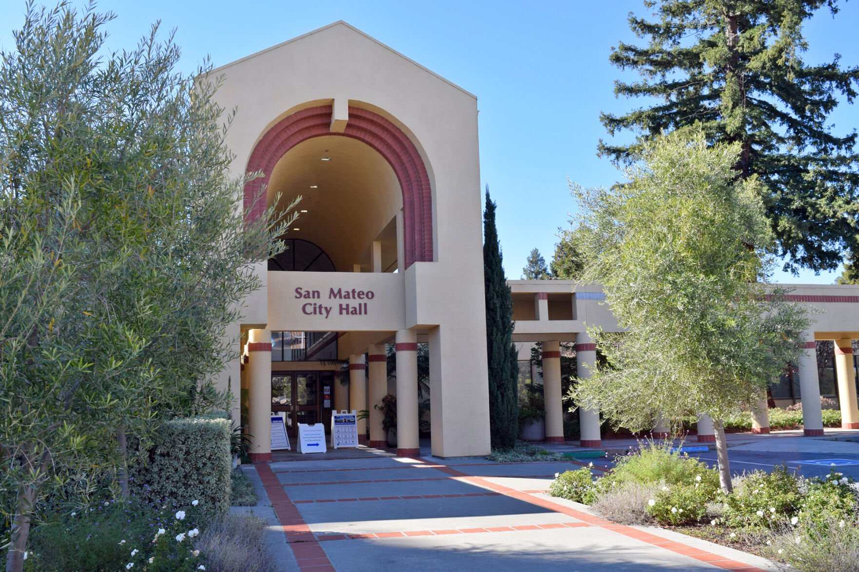
San Mateo’s upcoming land use zoning and traffic circulation maps for its General Plan will prioritize more expansive zoning changes for future housing growth and transportation improvements for pedestrians and bicyclists following council direction.
At its April 18 meeting, the council largely followed March recommendations from its Planning Commission and General Plan Subcommittee, a council-appointed group consisting of people from the council and various other city committees. Both groups suggested pedestrian and bicycle improvements and land use changes that offer more room for population and housing development growth.
The General Plan land use map guides what can be built, where and at what intensity or density. The council examined 10 study rezoning areas of San Mateo. Areas included El Camino Real, Bel Mateo and Mollie Stone, downtown, Peninsula Avenue, Campus Drive, North Shoreview, Parkside Plaza, Hillsdale and Bridgepointe. Each area suggested three alternatives with varying degrees of growth. Alternative A offered the least change and the lowest residential growth, with B the second most. Alternative C has the most residential growth and concentrates density and growth near transit.
The northern section of El Camino Real will zone mixed-use medium for El Cerrito and Tilton avenues and medium-high at Poplar Avenue. The central part of El Camino Real, which falls between Notre Dame Avenue and Bovet Road, will see more homes and jobs through mixed-use medium zoning. The area west of El Camino Real will become mixed-use high, and the 1700 El Camino Real site off Bovet Avenue will go from office to mixed-use high.
Study area three, between 16th Avenue and 36th Avenue, contained the Hayward Park and Hillsdale Caltrain Station, Bay Meadows and the Hillsdale Shopping Center. The council favored large growth through commercial, office, residential and mixed use at various densities. It also decided to accept the Hillsdale Shopping Center owner’s requests to make the mall site mixed-use land zoning designations allowing future use flexibility for housing. It calls for a mixed-use high designation for the parcels closest to the Hillsdale Caltrain Station and along El Camino Real, with a mixed-use medium for the parcel’s interior, with a transitional buffer zone to the adjacent neighborhood. Hillsdale Shopping Center at 60 31st Ave. is a large parcel close to transit centers like Hillsdale Train Station and El Camino Real and potential redevelopment use for housing, retail and commercial options.
The council picked Alternative C for the downtown area, which keeps the low density on Third and Fourth avenues east of Delaware Street and B Street south of Fifth Avenue. The council followed the Planning Commission’s recommendation for Peninsula Avenue to make it east of Woodside Way from residential to mixed-use low and increase residential density along North San Mateo Drive between East Santa Inez Avenue and Tilton Avenue. The Bridgepointe and Hillsdale areas received Alternative C.
Proponents of increased land use intensity say more housing will help decrease a current shortage and improve the jobs-housing imbalance. San Mateo must also create zoning conditions for more housing to meet more stringent state laws. However, there are limits to increases due to building height limits through Measure Y. The 2020 voter ballot initiative limits building height and residential density and represents the legislative desire of many San Mateo residents to restrict and control growth. The tension between the two sides has led to differing ideas about San Mateo’s future.
San Mateo resident Maxine Terner spoke at the April 18 meeting, expressing concern about a large amount of proposed growth. She noted voters made their feelings known through the 2020 Measure Y vote.
“San Mateo residents have chosen a small-scale city to massive congested urban heights and densities. Too many areas are designated for eight-plus stories,” Terner said.
Recommended for you
North Central resident Max Mautner advocated following through with the Planning Commission recommendation for high density and more housing opportunities.
“We are not a small city. We are the biggest in the county, and we desperately need housing density. “I’m grateful that city councils like our own hold the keys through land use regulations to combat the housing crisis that disproportionately impacts my generation, who are priced out of the homeownership market,” he said.
The transportation circulation map picked April 18 will explore new ways to improve the car, transit, pedestrian and bicycle access. The council picked traffic circulation scenario C, which prioritizes more walkable communities, bike and pedestrian infrastructure improvements, more regional connections, and improved mass transit options. Alternative C also calls for urban changes to downtown, like the Barcelona-inspired superblocks, that divert cut-through vehicle traffic to create a pedestrian-focused downtown and fewer cars. It will also create a specific plan for the North Central neighborhood through Senate Bill 1000, which calls for environmental justice in local land use planning for communities of color and low-income neighborhoods.
However, the plan will require the greatest tradeoffs for existing right-of-way. The council has made safety for bikes and pedestrians a key priority, given an increase in pedestrian-related traffic collisions before COVID-19 and several serious bike collisions in North Central. San Mateo is moving toward complete streets to accommodate pedestrians, bicyclists, cars and public transit. Several councilmembers asked staff to ensure state and federal funding trickles down to local neighborhood transportation infrastructure projects and not just to large regional projects. The council voted for Alternative C 4-1, with Councilmember Eric Rodriguez favoring Alternative A, prioritizing walkable pedestrian communities.
The finalized draft maps will return to the council for confirmation in July.
(650) 344-5200 ext. 102
Note to readers: This story has been changed. It had previously incorrectly stated parts of downtown would become residential medium and high. They will stay low density.


(0) comments
Welcome to the discussion.
Log In
Keep the discussion civilized. Absolutely NO personal attacks or insults directed toward writers, nor others who make comments.
Keep it clean. Please avoid obscene, vulgar, lewd, racist or sexually-oriented language.
Don't threaten. Threats of harming another person will not be tolerated.
Be truthful. Don't knowingly lie about anyone or anything.
Be proactive. Use the 'Report' link on each comment to let us know of abusive posts.
PLEASE TURN OFF YOUR CAPS LOCK.
Anyone violating these rules will be issued a warning. After the warning, comment privileges can be revoked.